
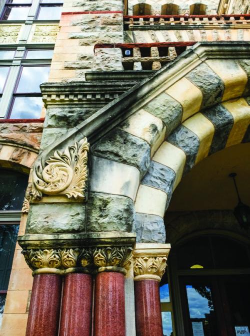
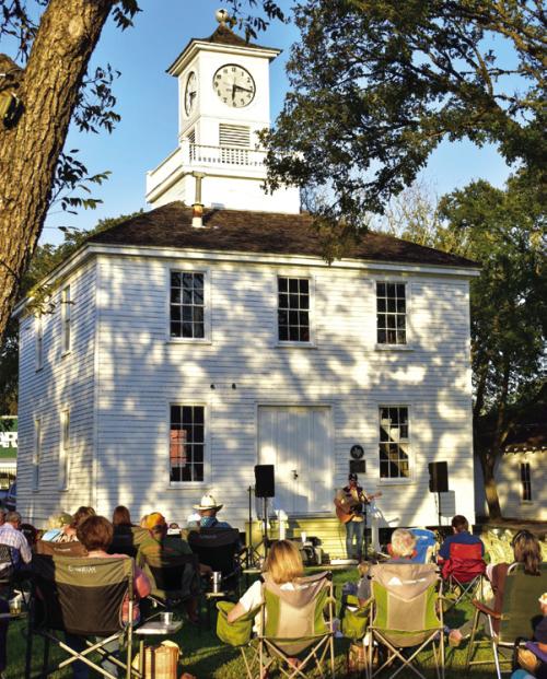
Algae to Be Cleaned From the Courthouse
The Fayette County Courthouse will get a bath ahead of the United States 250th Anniversary celebration planned for next year. Commissioners Court met last Thursday and approved a contract with Bell Tex Construction to remove black algae from the exterior walls of the courthouse, sidewalks, Veterans Memorial and the Old Fayette County Jail.

1975: Local Couple Witness Attempt on President’s Life
When Mr. and Mrs. Ovie Roensch of La Grange won a trip, they never dreamed they’d be on the same street in San Francisco when an unsuccessful attempt was made on President Gerald Ford’s life on Sept. 22, 1975. Nor did Ovie expect to be interviewed by a TV news crew afterward. President Ford was exiting a hotel where he had been making an address when the shooting took place. The Roenschs were standing near the man in the crowd of spectators who was shot. Ovie said he may have stood out in the crowd because he was the only one wearing a hat. The Houston Chronicle conducted the contest for its carrier-agents that the Roenschs won.

Weimar, Texas: The Prairie City
The first map to show and describe the area that would one day become Weimar was drawn by Stephen F. Austin in 1829. Titled An Original Map of Texas, its title and notations were in Spanish. This large area was shown as Llanos (Plains) and Encino (Oak), a description that still holds true for Weimar today. It occupied the space between two rivers, the Colorado to the east and the Navidad to the west. It also sat between the major roads of the day. To the north ran the Gonzales Cutoff, crossing the Colorado at Burnhams Ferry. Further north was the La Bahia Road, crossing the same river near present-day La Grange. Nearby, but to the south, ran the Gonzales/San Antiono Road crossing the Colorado at Columbus. Further south was the Atascocita Road, crossing the Colorado at Montezuma below Columbus, and the Navidad at today’s Oakland. The early settlers in Austin’s Colony wanted prime real estate, land that was near rivers and roads. On May 31, 1831, the “Llanos and Encino” was granted to Henry Austin, Stephen’s cousin, as part of a five-league survey, a sizable tract of land. Henry Austin died in 1852 with a large estate. Per his Will and Testament two tracts of land, 976 acres, were partitioned to his son Edward T. Austin in 1857. That would be the future site of Weimar.