


1 minute
Mystery of Strange Markings Solved Shortly After Newspaper Story Comes Out Last Week
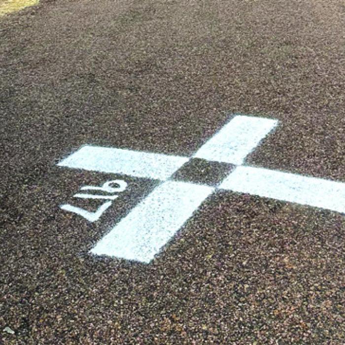
It didn’t take long to solve the mystery of the strange markings that appeared on county roads, as reported on the front page in last Friday’s Record. They’re related to an update of the airport layout plan at Fayette Regional Air Center.
Just minutes after the paper came, Pct. 1 Commissioner Jason McBroom said Airport Manager Debra Maddox called him to explain the markings. In an interview with the Record last Thursday, Maddox explained: “Our airport layout plan is being updated, and they have to do some surveying,” Maddox said. “They’re marking spots on the road. They’re getting survey data.”
According to the Federal Aviation Administration (FAA), airport layout plans document geospatial and topographical details surrounding the airport. They gather information about obstructions, elevations, buildings, roads and other land features.
Airport layout plans must be updated periodically in order to qualify for grant funding. Maddox said there are no plans to expand the airport currently. Maddox said she knew a survey crew would be working in the area. However, she was surprised at how far away from the airport some of the survey locations were. The survey markings we reported on last week were in the Rabbs Prairie area and near the O’quinn and Hostyn areas.
She noted that as part of the update, the runway numbers at the airport may change. Runway numbers correspond to the compass heading the runway faces so that pilots can make accurate approaches.
“Magnetic north can shift a little bit, and if it shifts enough, we may have to change our runway numbers,” Maddox said.