


The First Survey of Austin’s Colony Program Set July 30
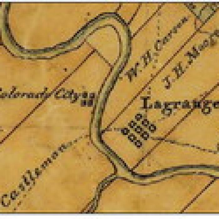
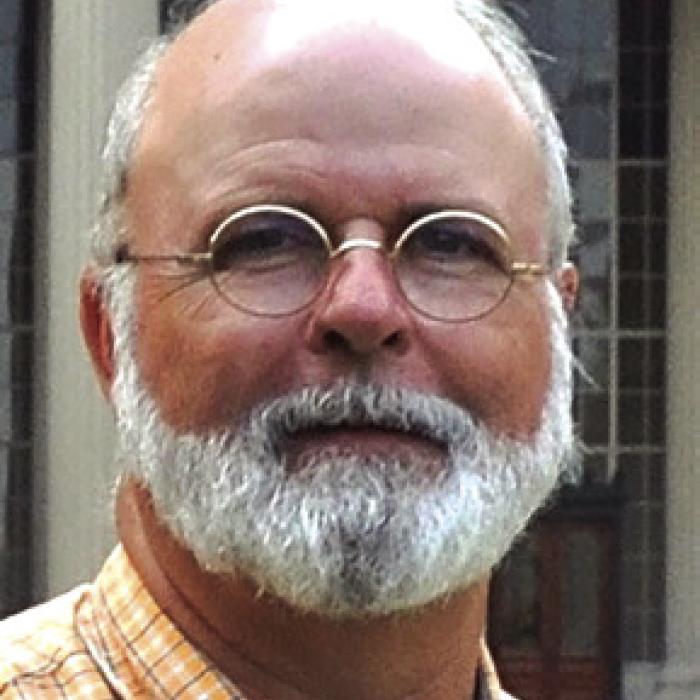
Henry Mayo, a professional surveyor and wellknown historian at College Station, has recently applied for a historical marker for the First Survey of Austin’s Colony, marking the Sylvanus Castleman half league (2214 acres) located a bit north of La Grange on the west bank of the Colorado River. The narrative for that application is such a compelling story that the Fayette Heritage Museum and Archives has invited Mayo to share it as a program at the Library Meeting Room on Thursday, July 30th at 6:30 p.m.
Henry Mayo grew up in College Station working for his father’s surveying and engineering company, which he later led. He is an active member of many organizations, mostly history related, and is known for his living history surveying presentations, as well as a Tank Commander in WWII battle reenactments. Among a variety of positions, Mayo has served as Chair of the Brazos County Historical Commission, President of the Washington on the Brazos Historical Foundation, History Committee Chairman of the Texas Society of Professional Surveyors, Past-President and current Sec-retary of the Brazos Valley Museum of Natural History, Adjutant of Sul Ross Camp of the Sons of Confederate Veterans and Past-President of the El Camino Real de los Tejas National Historic Trail Association. Additionally, he handcrafts old-style survey chains for living historians, museums and even the Texas General Land Office.
In August 1823, even before the town of San Felipe was surveyed, Seth Ingram was sent to survey land that Castleman already lived on, keep good field notes, and return to prove to Austin and the Baron de Bastrop that he knew how to survey land, particularly along meandering riverbanks.
Mayo touched on this topic in a program the Museum and Archives sponsored two years ago. This program will begin with Moses Austin’s plan to establish a colony in Texas, which became a reality under the leadership of his son, Stephen. He’ll follow Sylvanus Castleman from Tennessee to Missouri and then to Texas where, as Old 300 colonists, he and his large family established the most northerly home on the west bank of the Colorado River where they hosted Stephen F. Austin and the Baron de Bastrop for ten days in August 1823. Austin gave Sylvanus Castleman permission to divide his land grant and hired Seth Ingram to survey Castleman’s half-league. Ingram’s survey notes dated August 18 and 19, 1823, describe the point of beginning as being “on the west bank of the river about one mile below said Castleman’s dwelling house.” Today Egypt Road follows much of the survey’s western boundary. These first survey records of Austin’s Colony are housed in the archives of the Texas General Land Office.
The meeting room is located at the rear of the Fayette Public Library at 855 S. Jefferson Street in La Grange. The after-hours entrance is toward the rear of the building along Franklin Street.